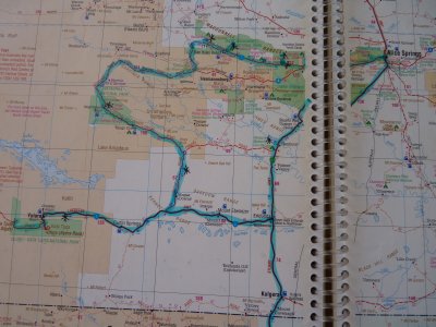
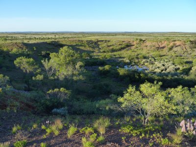
Hema 7 P100
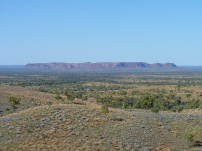
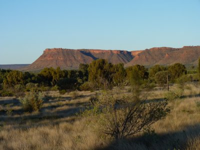
Rises out of the plain.
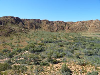
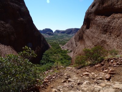
We got to walk around and up a bit.
Not quite what we are used to near Brisbane but similar.
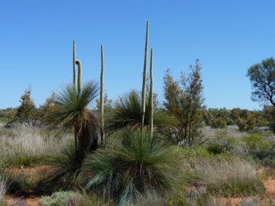
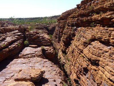
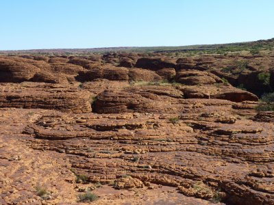
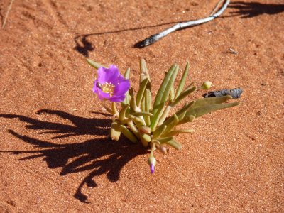
This was on the path at Kings Canyon.
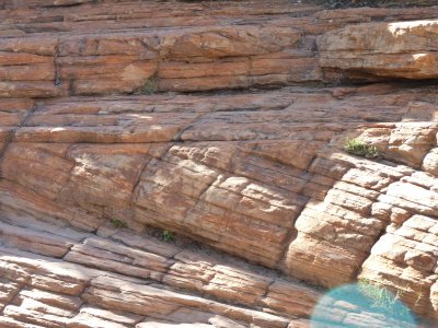
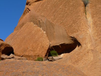
Cross Bedding is when the layers (beds) aren't aligned. It leads to interesting erosion.
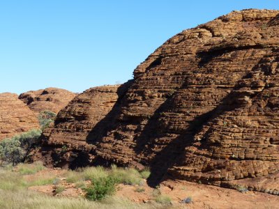
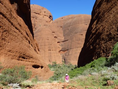
Similar erosion pattern to Katajuta.
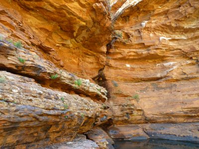
And called "The Garden of Eden".
Beats me why the name, beut we liked the place.
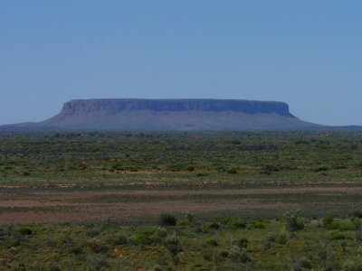
Couldn't get anywhere close to it across private land.
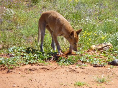
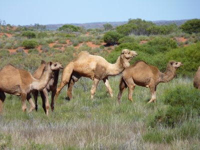
We did see a mob of 20 or so camels.
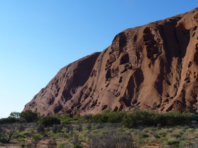
Made us think it was like Swiss cheese inside with all those holes.
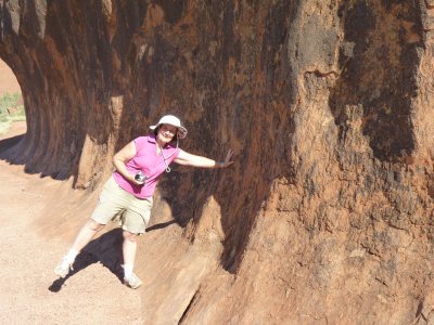
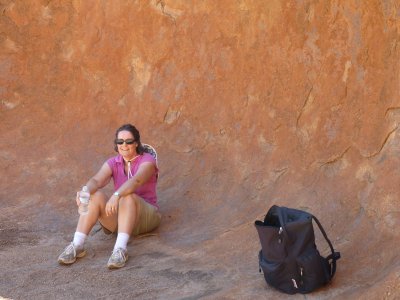
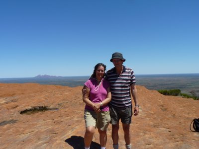
Not quite like 30 years ago, but after more than half way Ali could touch it.
Difficult to describe how to be respectful of the local wishes and climb it.
A long story. Partly we felt short changed by the lack of interpretive signs (and some of those we saw were illegible). Partly we were annoyed at the very "European" don't take photos of this sacred site notices with no explanation.
The info book we needed was available at the Cultural Centre, but the info part was closed at the time we arrived.
We were quietly disgusted at some of the behaviour of our fellow caucasians we observed.
Couldn't see any life in the ponds at the top (they were most interesting 30 years ago). A few floating used elastoplasts, presumably from people soaking their tired feet.
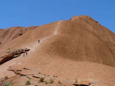
One of the features of Uluru is that there is no scree slope, which is part of the attraction but also part of what makes the climb dangerous.
Its always going to be difficult when mass tourism meets indigenous culture. Then add national park management culture.
We are also aware we are seen as "low value" tourists by the tourism consultants trying to push attractions up-market.
Quite calm when we were there.
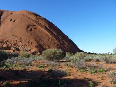
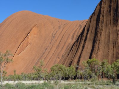
Uluru has been tilted so that the sandstone beds are vertical.
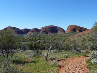
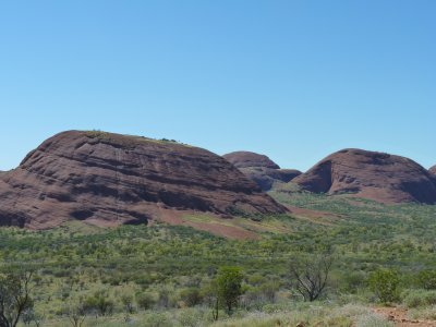
At Katajuta the beds are about 15 degrees, and its conglomerate with a sandstone matrix rather than sandstone.
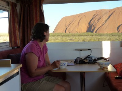
Because of the drive back to our campsite we had tea before the sun set. Some days we just need / want a bowl of soup.
What a pleasant way to spend an afternoon.
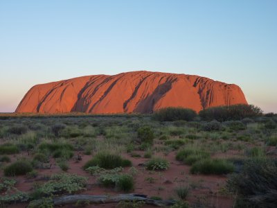
PS. This hasn't been photoshopped!
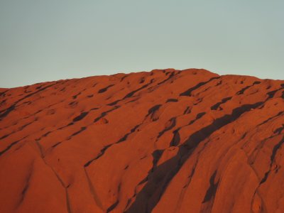
The red sandstone colours are magic.
Apparently the way to see it is with a tag along tour from Curtin Springs.
Didn't seem like our cup of tea.
This is actually two that merged. The largest.
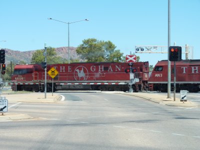
The road crossing near the rail station at Alice Springs.
We cheated. It wasn't the whole Ghan, just the locos shunting. Had to do something while the lights were red.
Reminded me of watching a large steam loco cross the road in Zimbabwe about 35 years ago. Diesel electric doesn't have the same romance as steam.